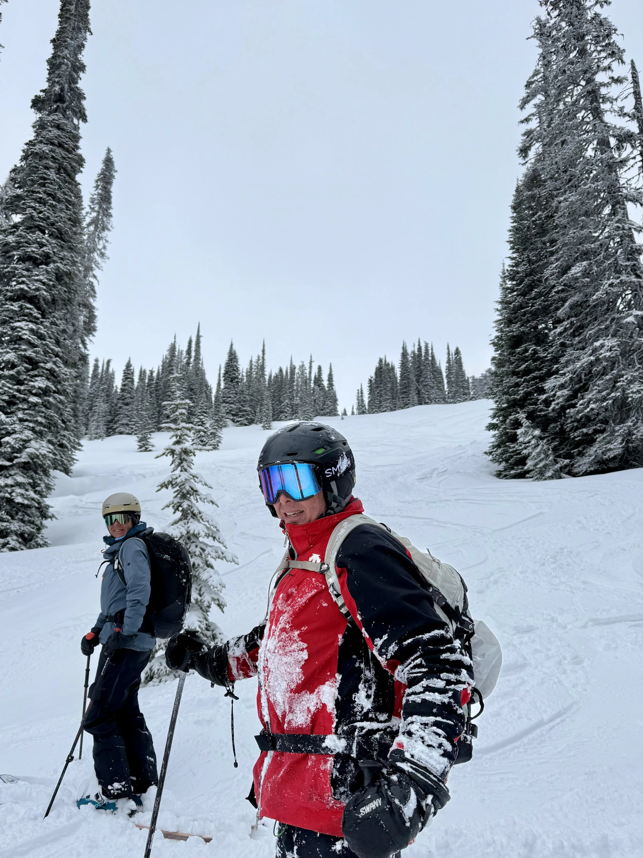
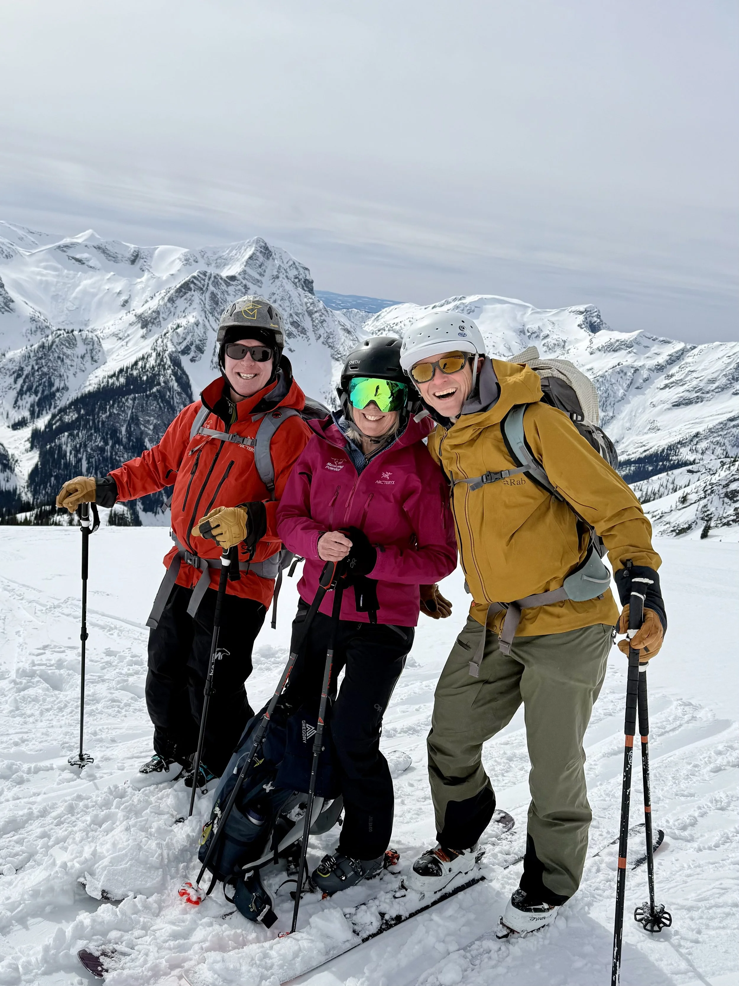
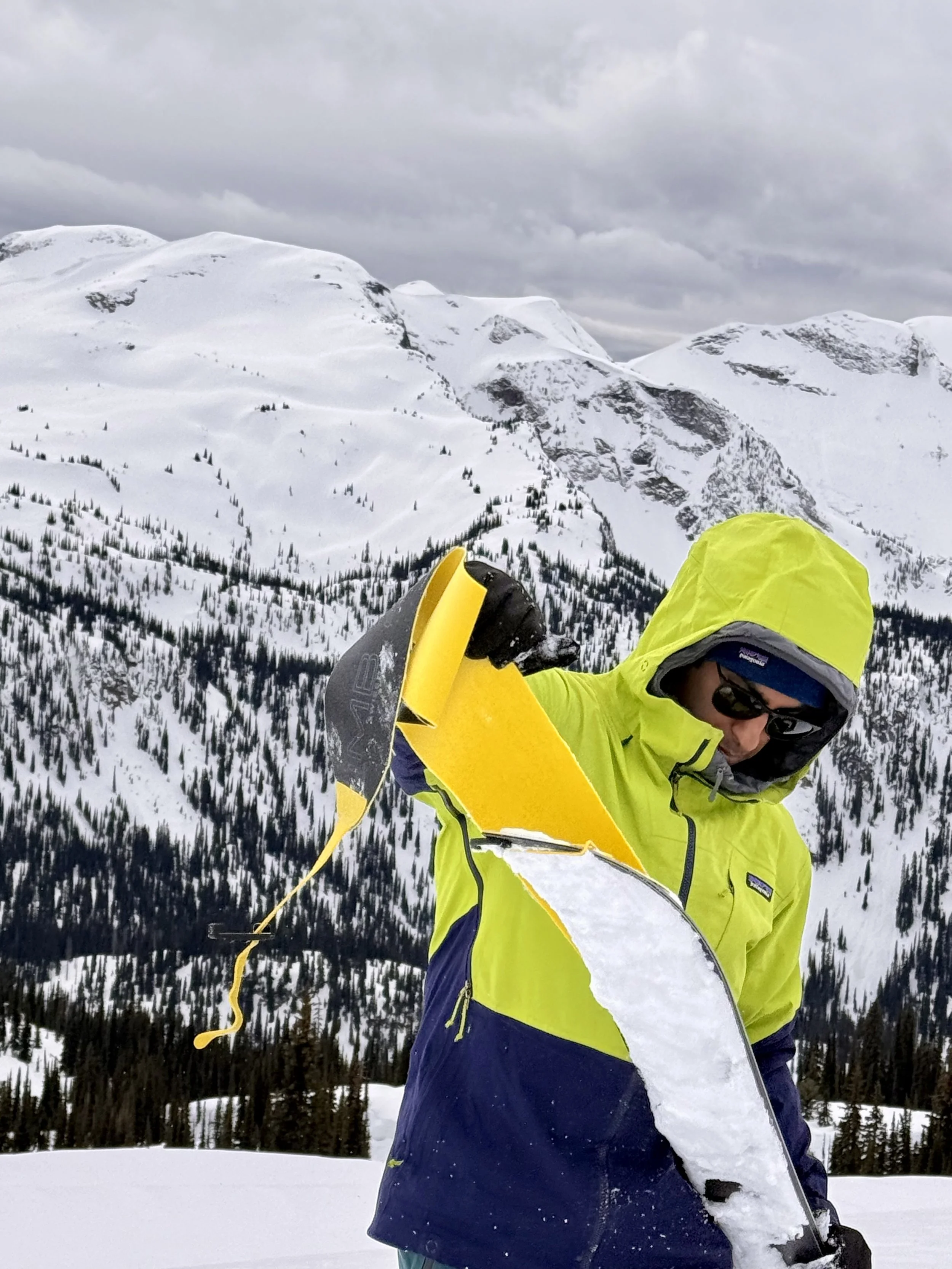
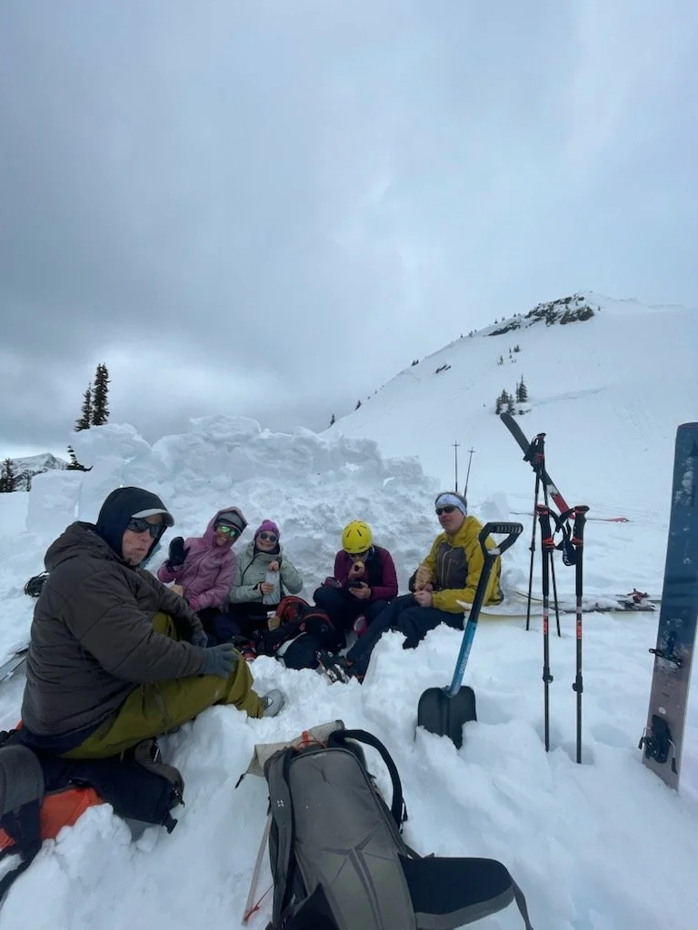
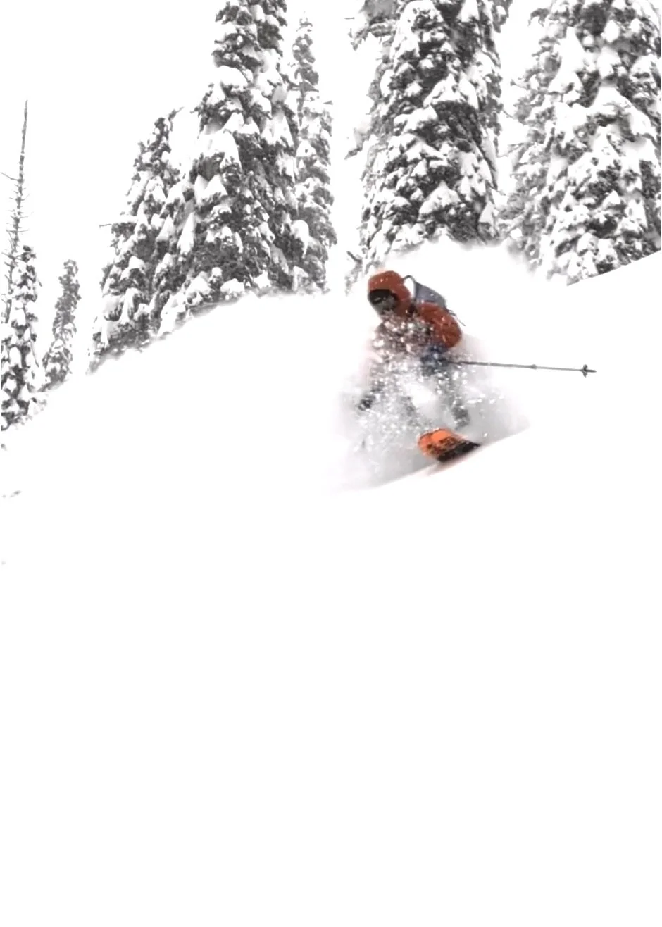
experience the bc monashees
conditions
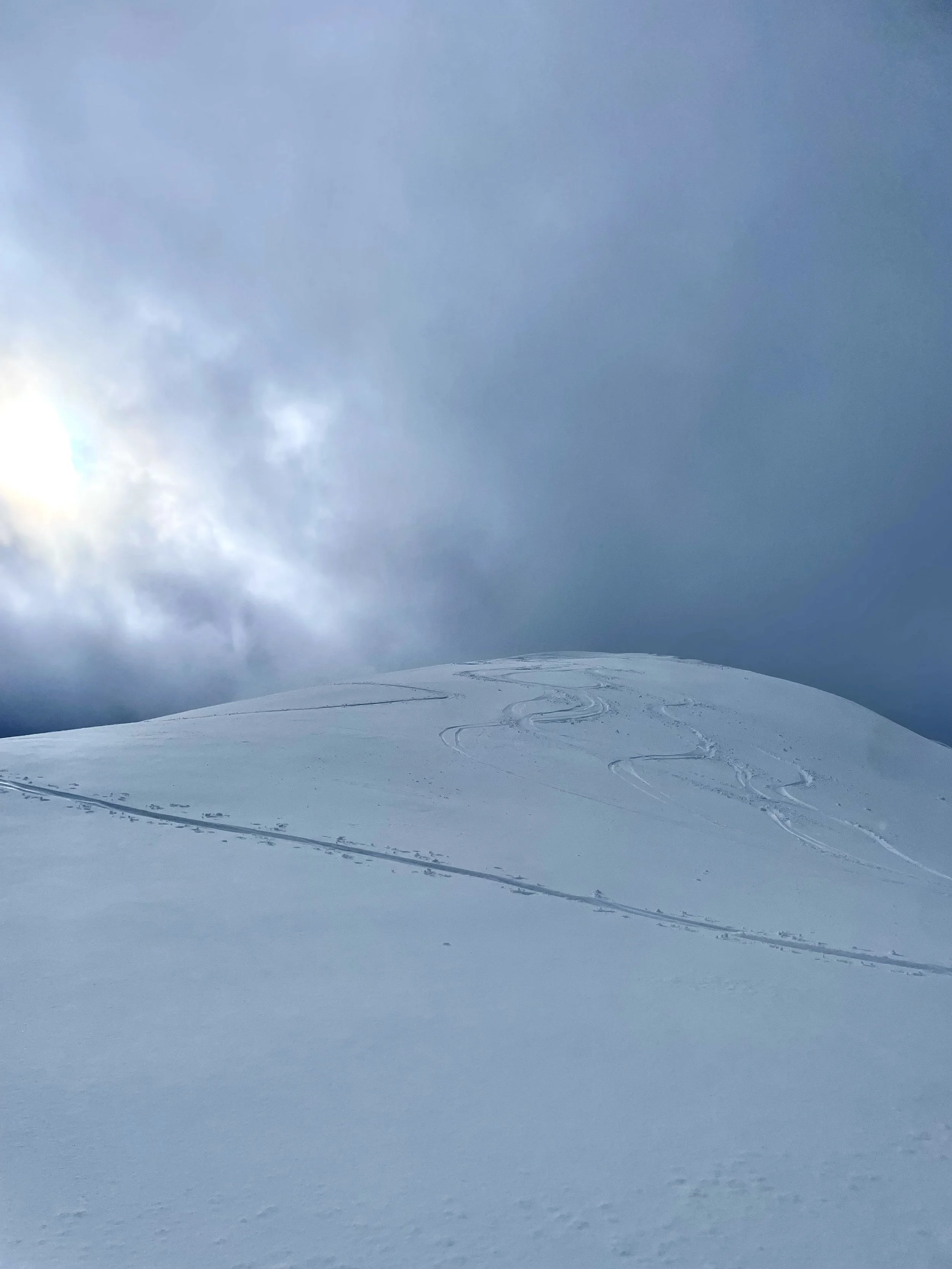
Featured

weather
View detailed snow forecast for Sol Mountain
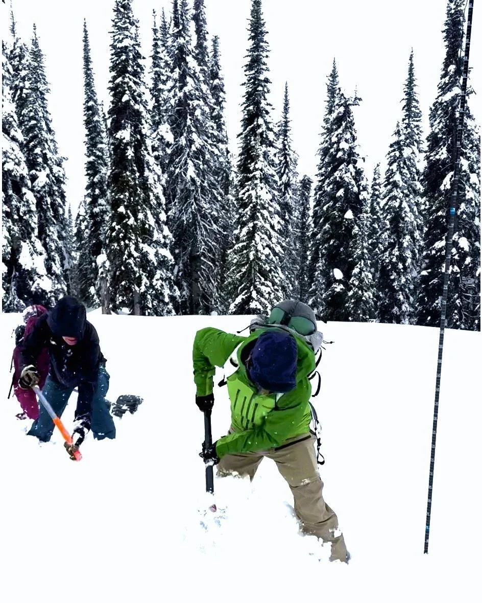
View detailed Avalanche Forecast for South Columbia
webcam

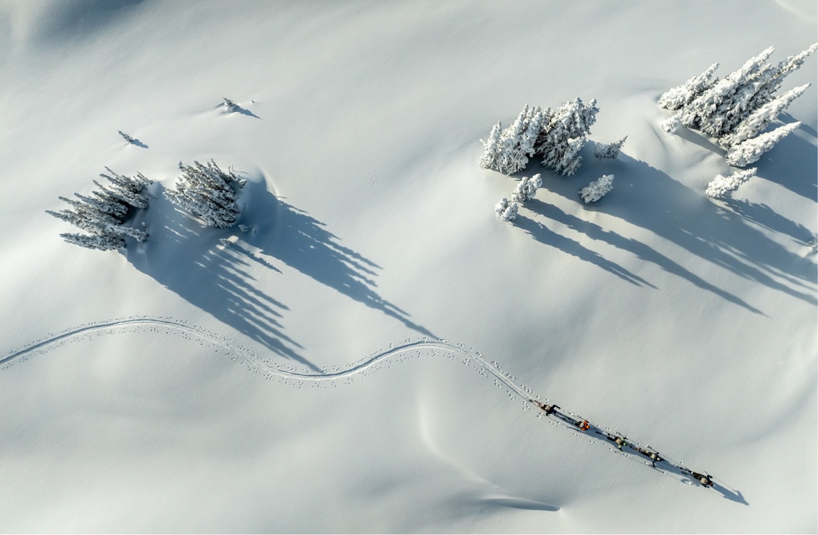
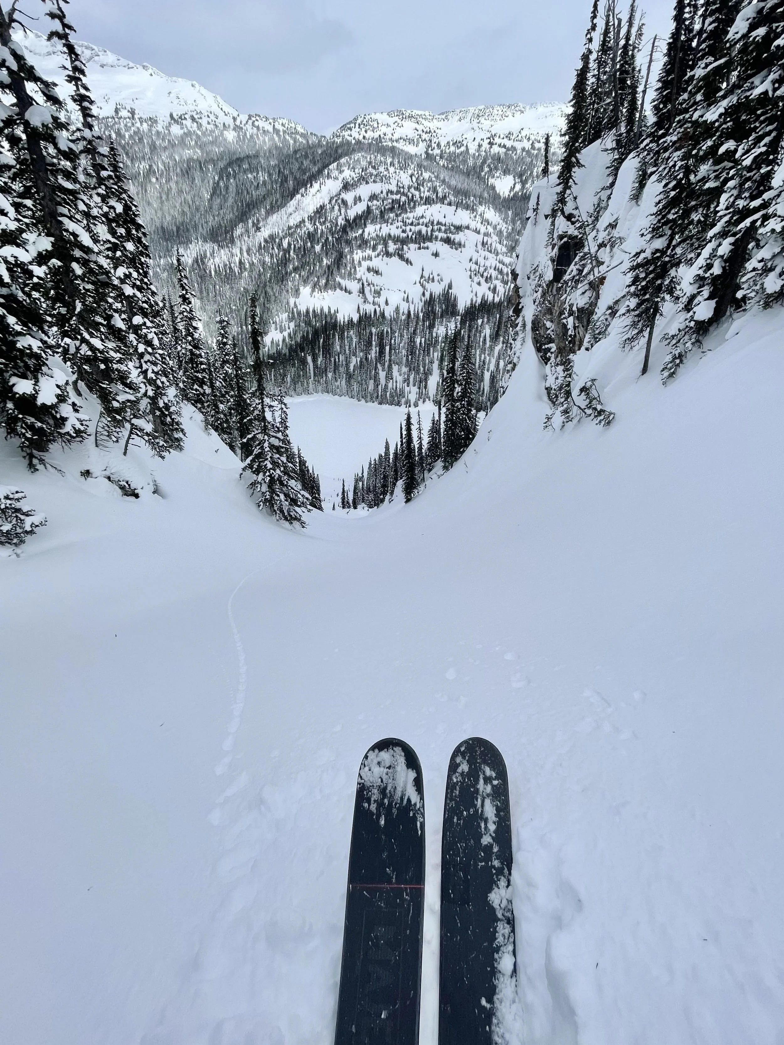
March 21 Snow Depth = 350 cm
Meter Reader indicates snow height at bottom of number
